The county was formed on March 25, 1853, from a large portion ofContra Costa Countyand a smaller portion ofSanta Clara County.
TheSpanishword alameda means "a grove of poplars.....or a tree lined street" a name originally used to describe the Arroyo de la Alameda (Poplar Grove Creek). Thewillowandsycamoretrees along the banks of the river reminded the early explorers of a road lined with trees.
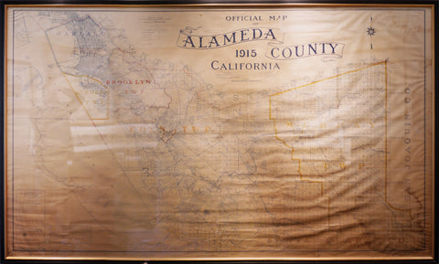
The county seat at the time it was formed was located atAlvarado, now part ofUnion City. In 1856 it was moved toSan Leandro, where the county courthouse was destroyed by the devastating 1868 quake on theHayward Fault. The county seat was then re-established in the town ofBrooklynfrom 1872-1875. Brooklyn is now part ofOakland, which has been the county seat since 1873.
Much of what is now considered an intensivelyurbanregion, with major cities, was developed as atrolley car suburbofSan Franciscoin the late 19th and early 20th centuries. The historical progression from Native American tribal lands to Spanish, then Mexican ranches, then to farms, ranches, and orchards, then multiple city centers and suburbs, is shared with the adjacent and closely associatedContra Costa County.